Our services
Get a free consultation?
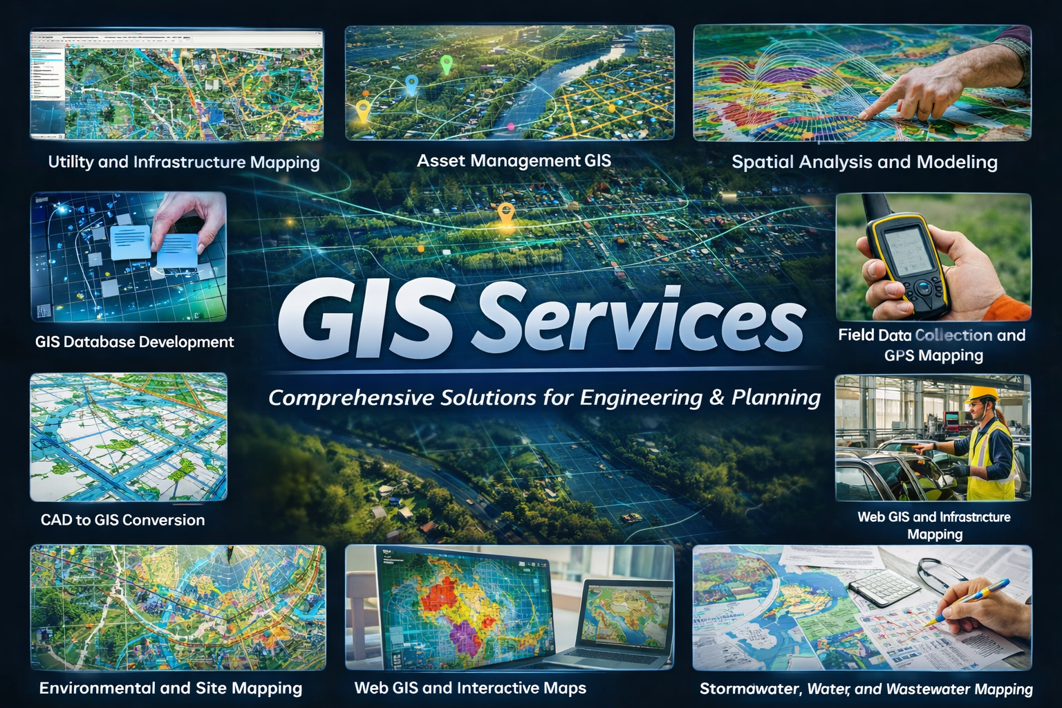
GIS Services
Kaletech provides Geographic Information Systems (GIS) services to support engineering, infrastructure, environmental, and planning projects. Our GIS services help clients manage assets, visualize infrastructure, analyze spatial data, and support planning and regulatory compliance.
Our GIS Services Include
We deliver practical GIS solutions that improve infrastructure visibility, spatial planning, asset management, and engineering decision-making.
- Utility and Infrastructure Mapping
- Asset Management GIS
- Spatial Analysis and Modeling
- GIS Database Development
- CAD to GIS Conversion
- Field Data Collection and GPS Mapping
- Environmental and Site Mapping
- Web GIS and Interactive Maps
- Stormwater, Water, and Wastewater Mapping
- Facility and Industrial Infrastructure Mapping
- Regulatory and Permit Mapping
- Engineering Report Figures and Mapping

Need GIS support for your next project? Contact us now